Turn Earth observation data into decisions
Open Cosmos delivers advanced Earth observation data, powered by our vertically integrated OpenConstellation satellite infrastructure and our cloud-based platform, DataCosmos.
DataCosmos provides secure and scalable access to OpenConstellation data. Designed for enterprise and government workflows, it turns raw imagery into information you can act on without leaving the platform.
DataCosmos provides secure and scalable access to OpenConstellation data. Designed for enterprise and government workflows, it turns raw imagery into information you can act on without leaving the platform.
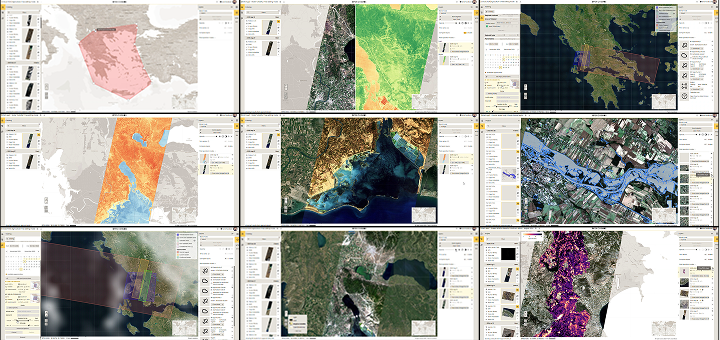
Access the data

Direct satellite tasking with cloud-coverage estimation
Image catalogue search
On-the-fly tools to explore your data
Build on it
API integration into GIS, AI & analytics pipelines
AI-ready and Big Data-compatible workflows
Edge computing support for real-time on board analytics
Deploy securely
Secure cloud or on-premises deployment
Role-based access, API auth & encryption standards

Built with security, uptime and interoperability in mind — DataCosmos supports operational, defense and environmental monitoring requirements.
Data powered by OpenConstellation
A unified Earth observation infrastructure delivering archive access, advanced tasking and scalable multi-sensor capabilities through DataCosmos.
OpenConstellation Hyper-500
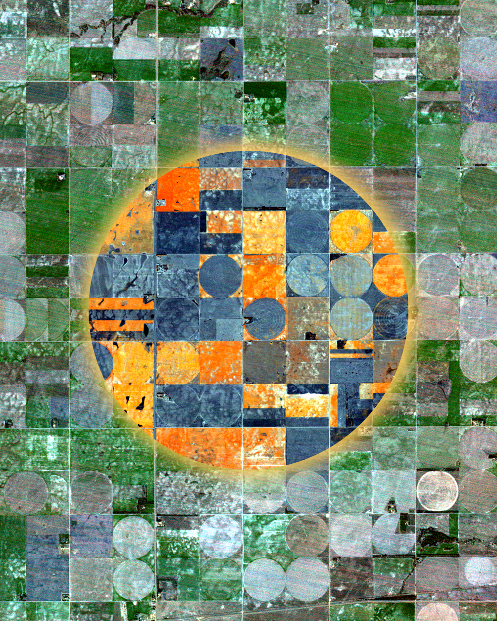
The combined hyperspectral and spatial resolutions of Hyper-500 boost each other to unlock a global view of the biochemical compositions of the canopy and mineral fingerprints, providing unique, innovative, actionable intelligence.
32 Hyperspectral bands
430–900 nm + Panchromatic
4.75 m
Spatial resolution
19 km
Swath
Bi-weekly
Global revisit
48 h
Standard delivery time
AI onboard
For Near Real-Time analytics
OpenConstellation 1.0
A new generation of satellites delivering faster, sharper insight.
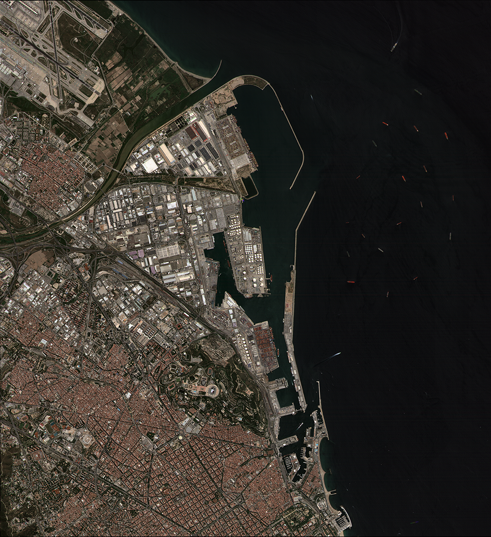
OpenConstellation 1.0 is our next-generation Earth Observation satellites designed to deliver sub-daily global Earth Observation Data at scale and a more advanced resolution. With 15 satellites with launches beginning in Q2 2026, this infrastructure integrates multiple sensing products within a unified architecture.
3M+ km2
Daily image collection capacity
30 minutes
Near Real-Time insights via ISL
Sub-daily
Global visit
24h / 4h
Standard delivery / rush mode
Edge Computing Framework
IoT + Inter-Satellite Link connectivity
Products
VNIR-100
VHR imagery · 1 m
Daily revisit for infrastructure, defense and urban monitoring.
Multi-150
HR multispectral · 1.50 m VNIR
Advanced land classification and vegetation monitoring.
SWIR-2000
SWIR data · 20 m
Soil moisture, water, wildfires, and material analysis.
Hyper-1800
Hyperspectral · 18 m, 150 bands
Advanced spectral intelligence at scale.
AIS & IoT
Integrated connectivity
Maritime domain awareness and machine-to-machine communication.
Data ready for your applications workflow
Operational data services ready for integration into analytics workflows, digital twins and AI-based systems.
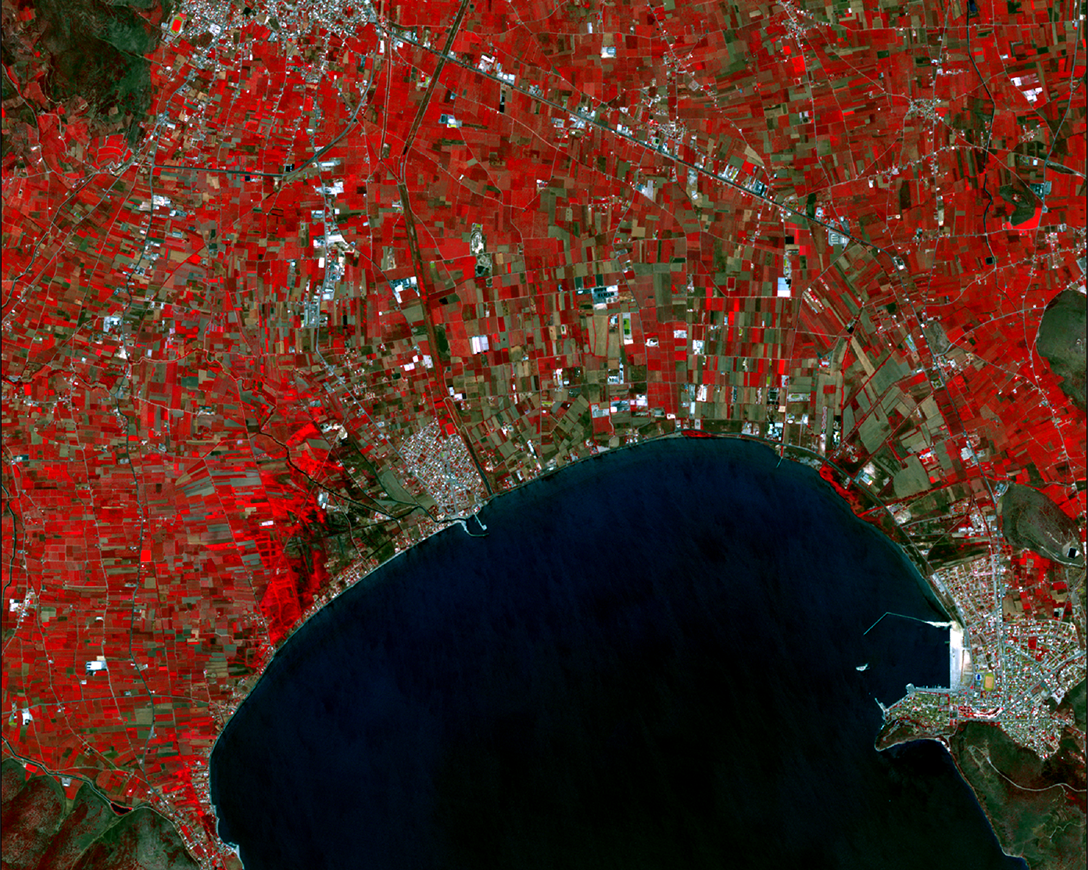
Precision agriculture & food security
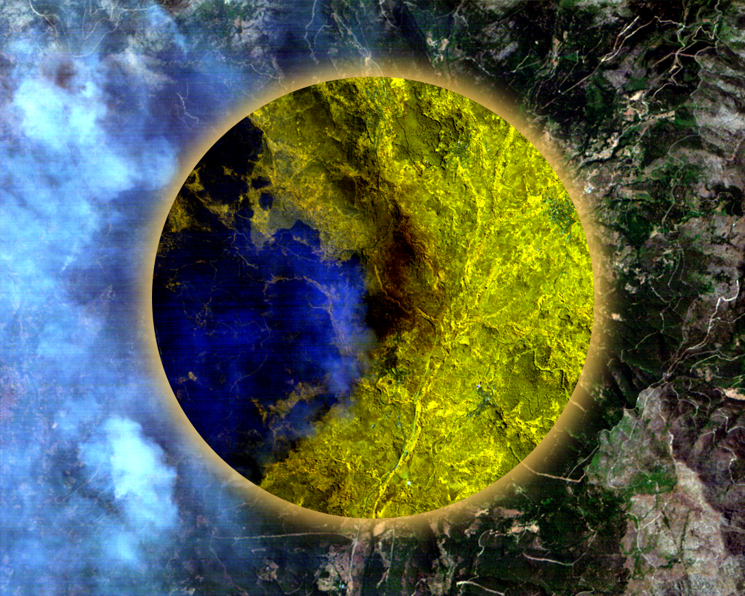
Wildfire intelligence and monitoring
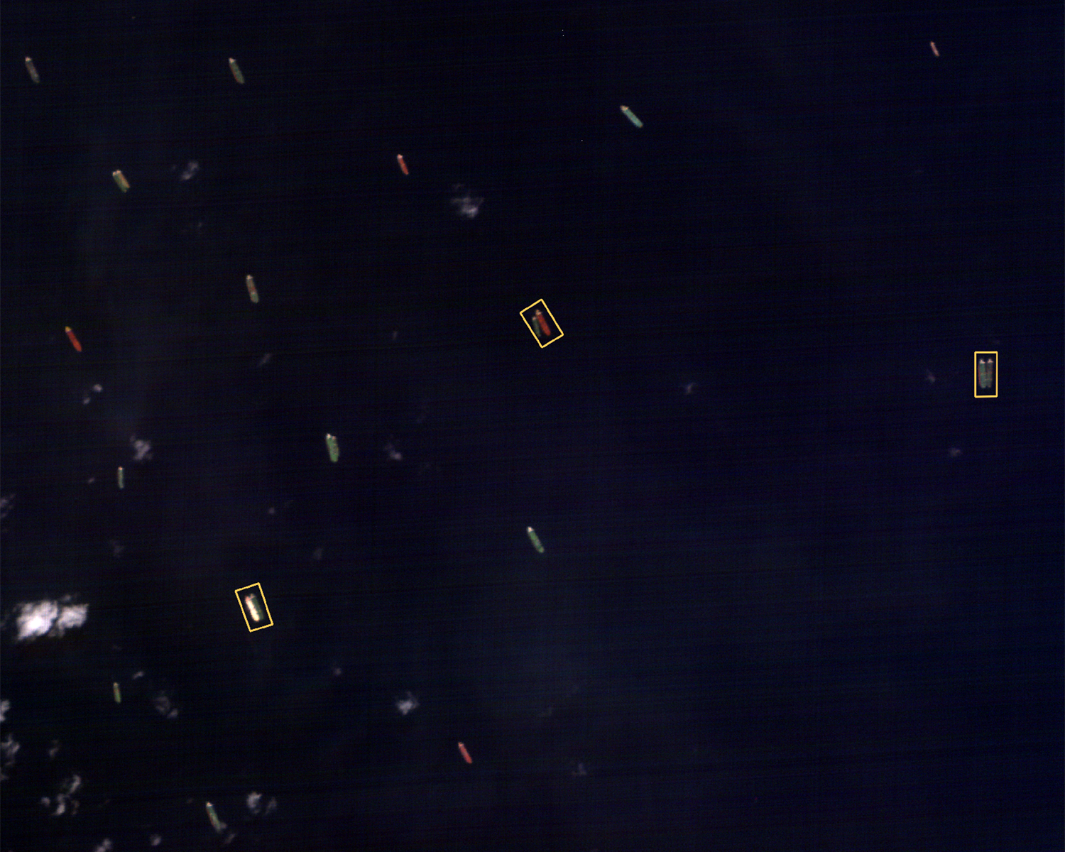
Maritime surveillance and oil spill detection
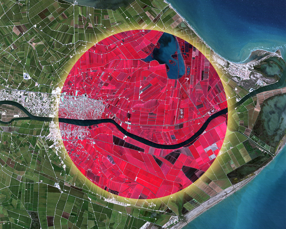
Environmental monitoring & compliance
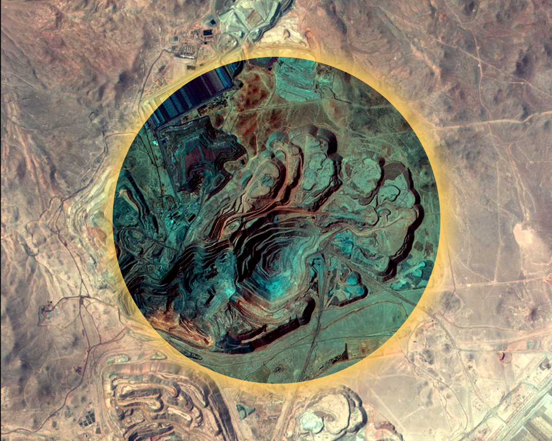
Mineral & soil analysis
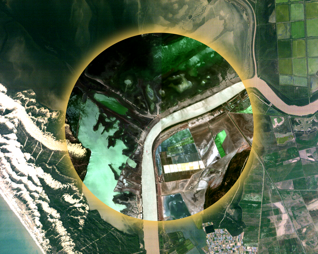
Water quality and aquatic ecosystem monitoring
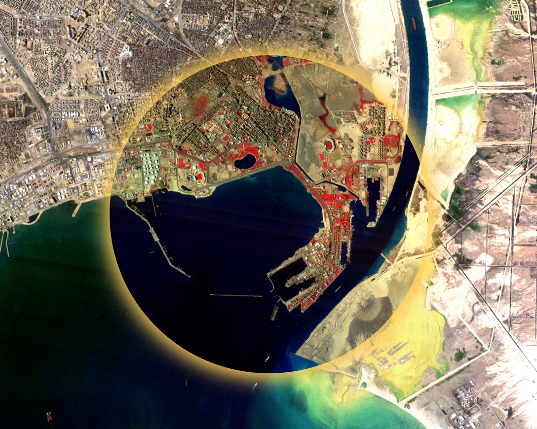
Infrastructure & asset
monitoring
monitoring
Something else?
Talk to us